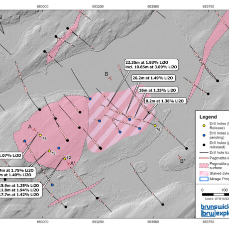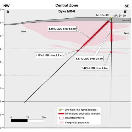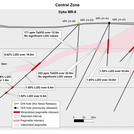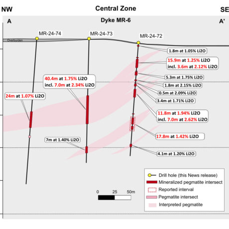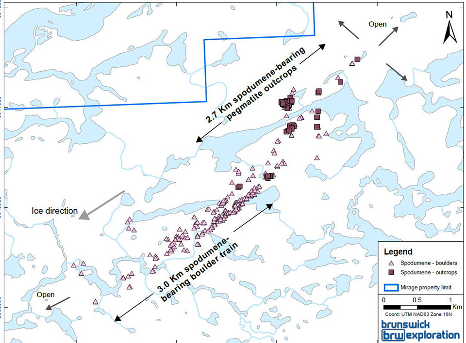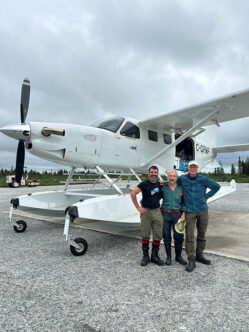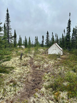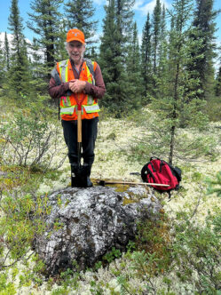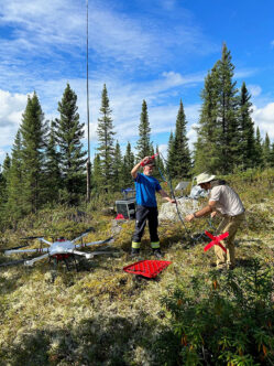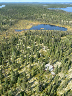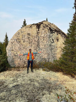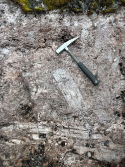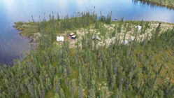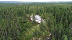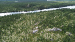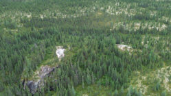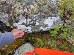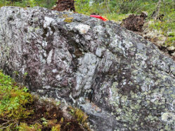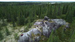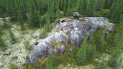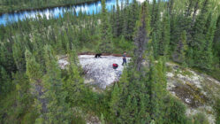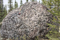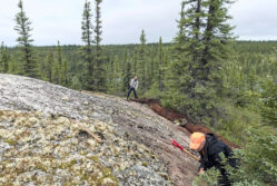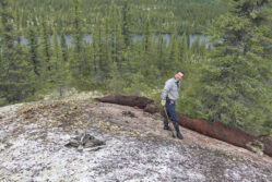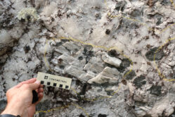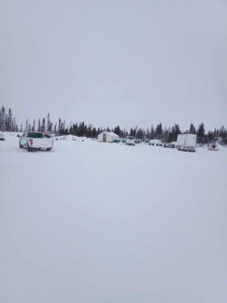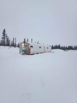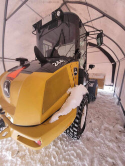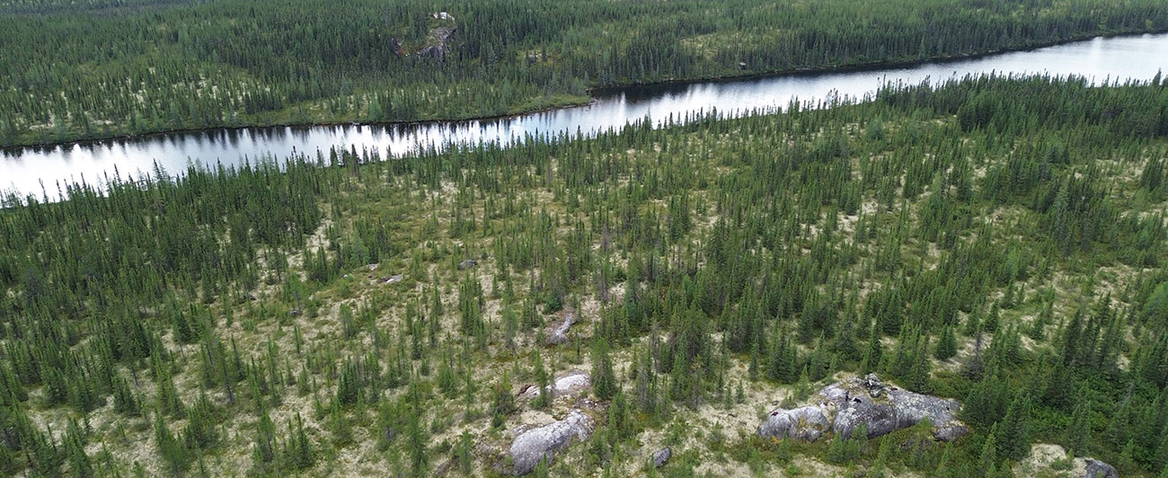
The Mirage Project comprises 278 claims with a total surface area of 13,839 hectares (staked and optioned claims), located roughly 40 kilometers south of the Trans-Taiga Highway in Quebec’s James Bay region. In the summer of 2023, BRW identified several angular pegmatitic glacial boulders hosting well-defined, decametric Pale grey spodumene crystals. The largest observed boulder measured 8 meters by 4 meters by 3 meters within a kilometric boulder train.
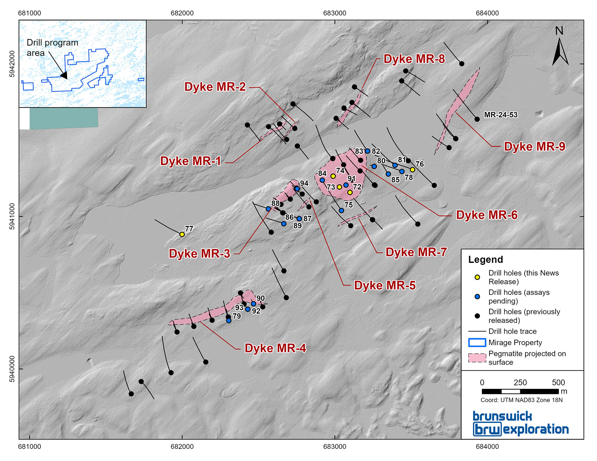
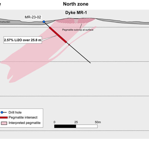
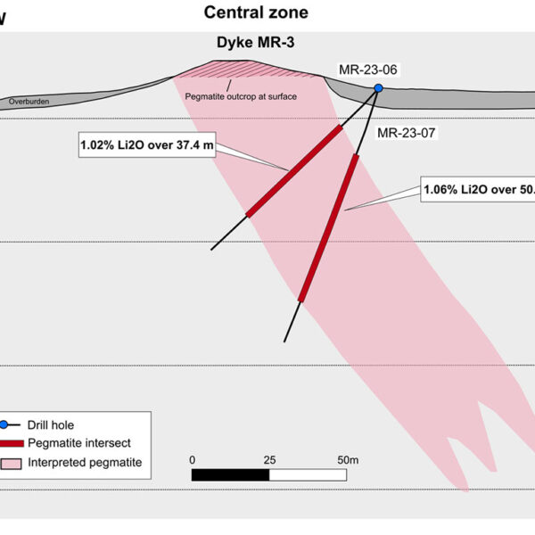
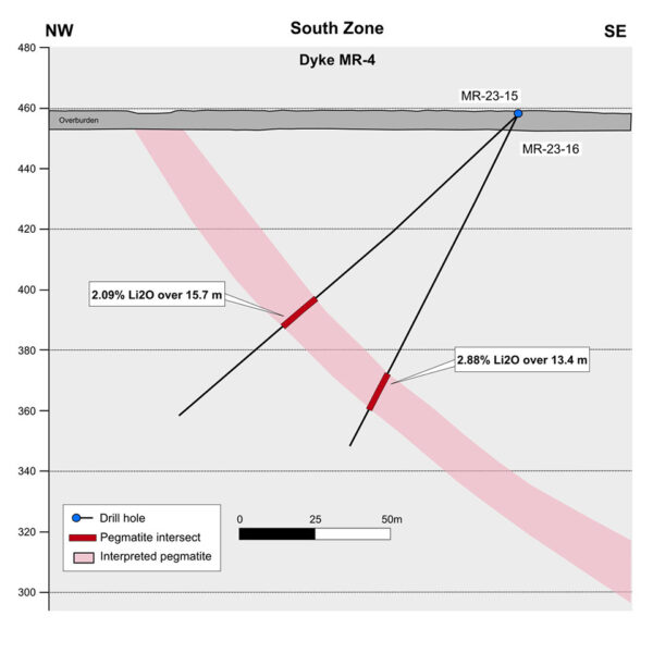
Following the discovery of the boulder train, BRW outlined several high grade spodumene outcrops over a 2.5 kilometer trend as well as an adjacent to the spodumene boulder train. The outcrops have a different minerology than the boulder train potentially indicating a different source. On the basis of the successful prospecting campaign, BRW completed an initial 5,090 meter, 36-hole diamond drill program that delineated what is now known as the MR-1, MR-2, MR-3, MR-4 and MR-6 dykes. Drilling highlights include 2.57% Li2O over 25.8 meters, 50.6 m at 1.06% Li2O, 16.2 m at 2.75% Li2O and 3.28% Li2O over 10.6 meters (see December 4 2023 & December 19 2023 Press Releases).
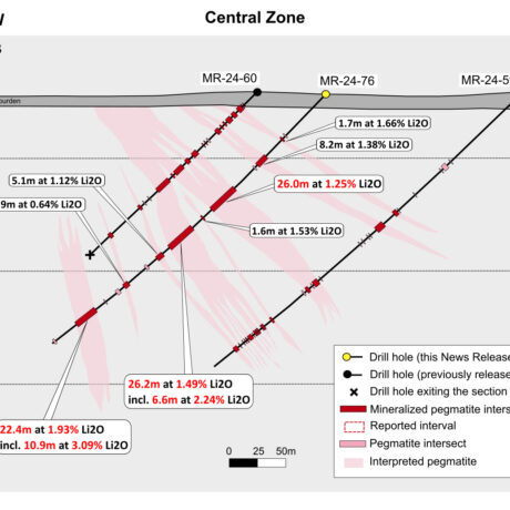
In 2024, BRW completed a further two drill campaign totaling approximately 12,000 meters. The 2024 objectives were to discover new dykes as well delineate and expand the known spodumene bearing pegmatites dykes at Mirage. The latest 2024 campaign continues to expand the highly prospective the Central Zone, including the MR-6 and MR-3 dykes (see October 8, 2024 Press Release) and has continued to intersect wide and well mineralized intervals on their extension and at depth. Highlights include 93.45 meters at 1.55% LI2O and 69.3 meters 1.64% LI2O both at MR-6 (see May 8 and June 4 2024 Press Release).

