The Mirage Project

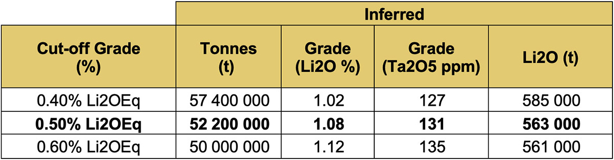
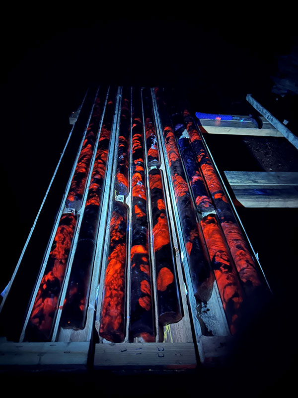
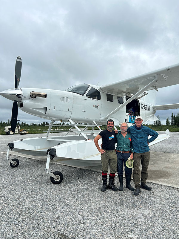
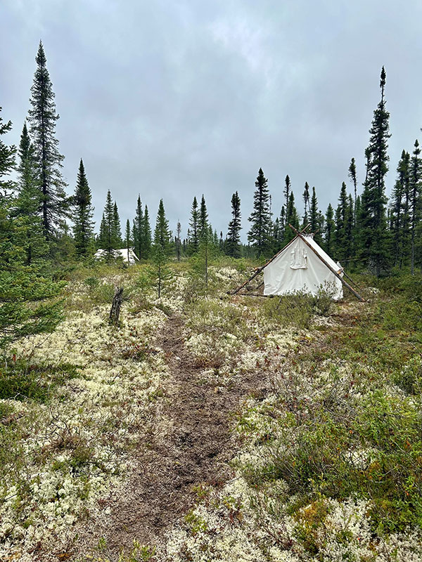
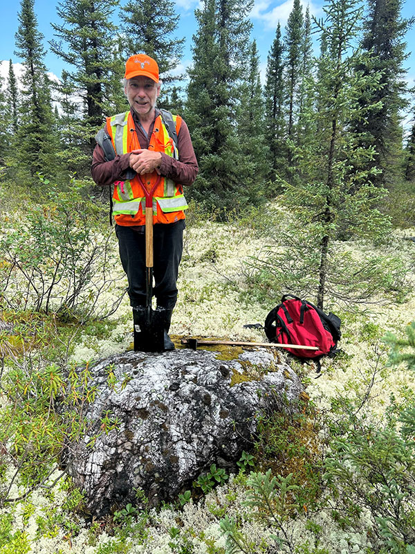
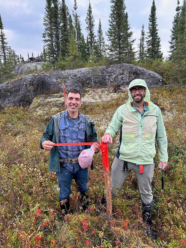
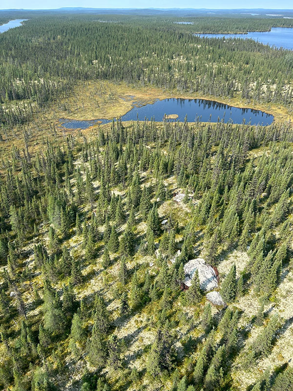
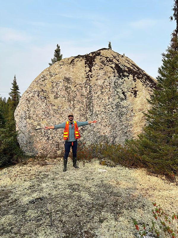
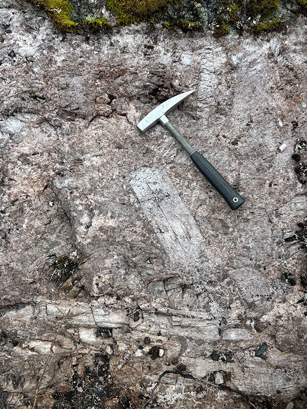
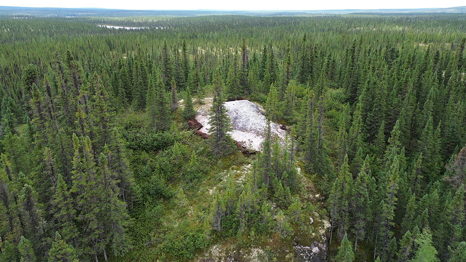
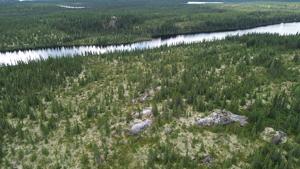
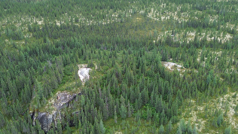
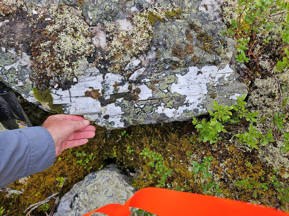
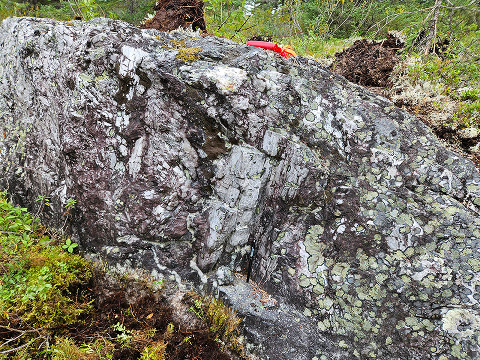
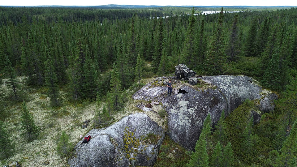
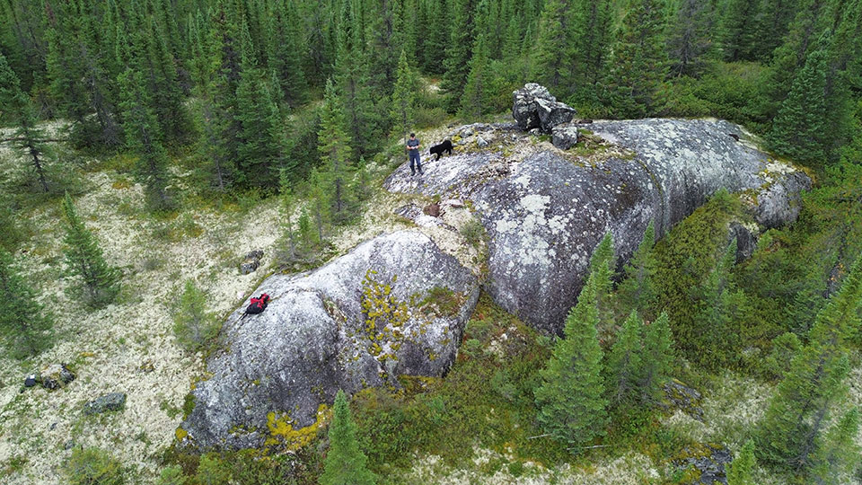
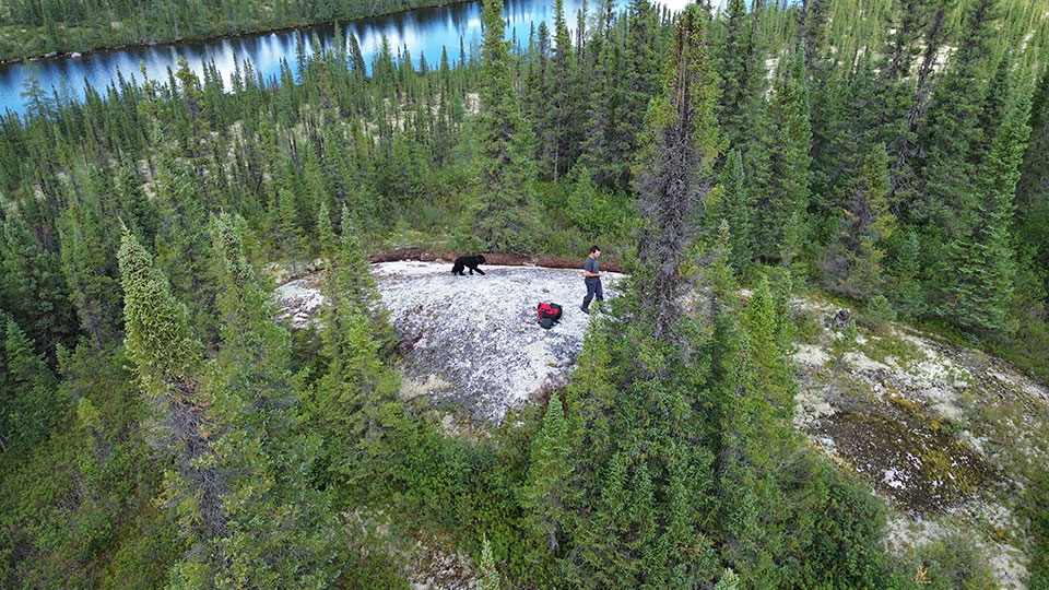
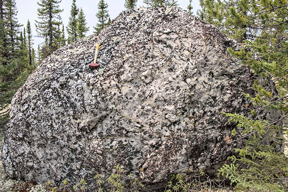
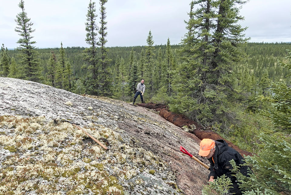
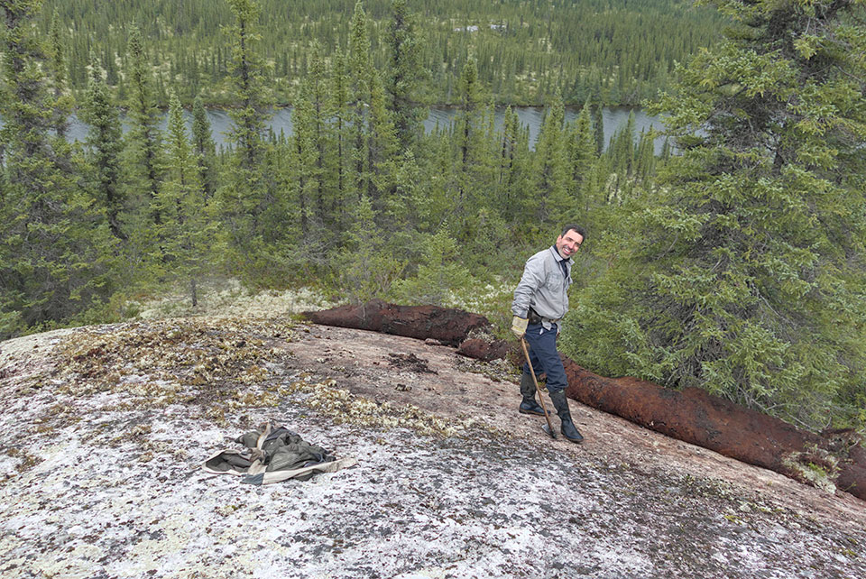
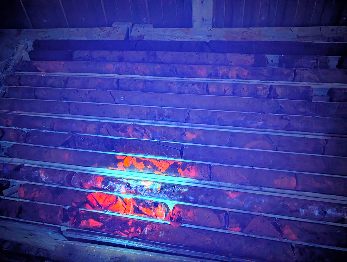
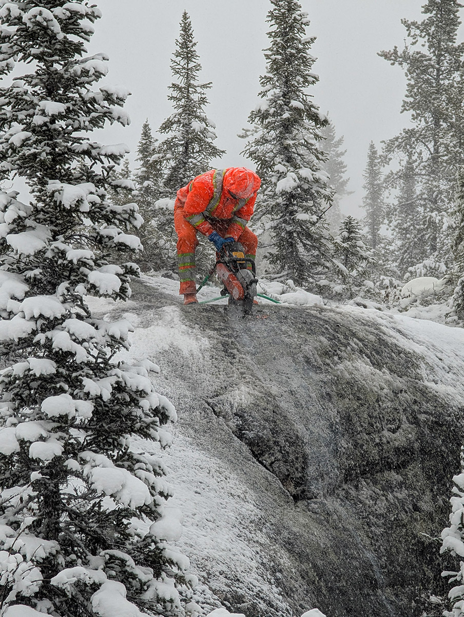
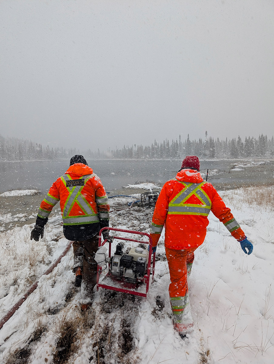
The Mirage Project is a wholly owned flagship lithium exploration asset of Brunswick Exploration Inc. It comprises 278 claims with a total surface area of 13 839 hectares (staked and optioned claims), located roughly 40 kilometers south of the Trans-Taiga Highway in Quebec’s James Bay region. In the summer of 2023, Brunswick Exploration discovered serval high-grade spodumene bearing pegmatite outcrops on the property. These outcrops are on a 6 kilometers long trend which remains open in all directions (see June 14th, 2023 press release). Exploration and diamond drilling on the Mirage project is ongoing since then and has so far delineated nine main spodumene pegmatite dykes, which were named MR-1 to MR-9. Drilling highlights include  93.45 meters at 1.55% Li2O and 69.3 meters 1.64% Li2O both at MR-6 (see May 8 and June 4 2024 Press Releases).

Table – Collars 2026-01-13

Table – Intervals 2026-01-13

Figure 1: Localisation map of the project

Maiden Resource Estimate

On January 8th, 2026, Brunswick Exploration published a maiden resource estimate for the Mirage project (January 8th, 2026 press release)

  • Inferred resource of 52.2Mt at 1.08% Li2O and 131ppm Ta2O5 (see Table 1) at a cut-off grade of 0.5% Li2OEq for total contained lithia in excess of 550,000 tonnes. This places Mirage among the largest undeveloped hard rock lithium resources in the Americas.
  • Over 70% of the MRE is contained within five dykes found above a vertical depth of 150 meters from surface, all of which remain open in several directions.
  • Metallurgical testwork demonstrates the potential for a dense media separation (“DMS”) only processing flowsheet, producing a high-quality concentrate.

Table 1: Mirage Project Deposit In-pit Mineral Resource Estimate

Table 1: Mirage Project Deposit In-pit Mineral Resource Estimate

  1. The independent qualified persons for the MRE, as defined by National Instrument (“NI”) 43-101 guidelines, is Pierre Luc Richard, P.Geo., of PLR Resources Inc., with contributions from Patrick Frenette, P.Eng., of Synectiq Inc. for cut-off grade estimation and open pit optimization.
  2. These Mineral Resources are not mineral reserves as they have no demonstrated economic viability. No economic evaluation of these Mineral Resources has been produced. The quantity and grade of reported Inferred Resources in this MRE are uncertain in nature and there has been insufficient drilling to define these Inferred Resources as Indicated. However, it is reasonably expected that the majority of Inferred Mineral Resources could be upgraded to Indicated category with continued drilling.
  3. The Qualified Persons are not aware of any known environmental, permitting, legal, title-related, taxation, socio-political, marketing or other relevant issues that could materially affect the Mineral Resource Estimate.
  4. Calculations used metric units (metres, tonnes). Metal contents in the above table are presented in percentages, part per million (gram per tonne) and tonnes. Metric tonnage was rounded, and any discrepancies in total amounts are due to rounding errors.
  5. CIM definitions and guidelines for Mineral Resource Estimates have been followed.
  6. Resources are presented as undiluted and in situ for the open-pit scenario within 5m x 5m x 5m blocks. The constraining pit shell was developed using overall pit slopes of 53 degrees. The pit optimization to develop the mineral resource-constraining pit shell was done using the pseudoflow algorithm in Deswik software (see Figure 2).
  7. The MRE wireframe was prepared using Leapfrog Edge v.2025.1.1 and is based on 132 drill holes and four trenches, totalling 23,626 meters and 8,288 assays. The cut-off date for the drill hole database was December 9, 2025.
  8. Composites of one metre were created inside the mineralization domains. High-grade capping was done on the composited assay data. Depending on individual statistical study for each zone, composites were capped between 1.50% Li2O and 4.50% Li2O and between 200ppm Ta2O5 and 900ppm Ta2O5.
  9. Pit constrained Mineral Resource for the base case is reported at a cut-off grade of 0.50% Li2OEq. The cut-off grades may be re-evaluated in the future based on prevailing market conditions and costs. A ratio Ta2O5 to Li2O of 0.00008658 (based on selling price, recoveries and other variables) was used to obtain the Li2OEq grade used in the cut-off.
  10. Specific gravity values were estimated using data available in the drill hole database. Density values where interpolated when data was sufficient to do so, and completed with fixed values. Density values between 2.57 g/cm3 and 2.90 g/cm3 were applied to the model for different domains and 2.00 g/cm3 for overburden.
  11. Grade model resource estimation was calculated from drill hole data using an Ordinary Kriging interpolation method in a sub-blocked model using blocks measuring 5m x 5m x 5m in size and sub-blocks down to 0.625m x 0.625m x 0.625m. Ordinary kriging (OK), inverse square distance (ID2), Nearest neighbour (NN) interpolation methods were tested, resulting in no material difference in the Mineral Resource Estimates.
  12. The Inferred Mineral Resource categories are constrained to areas where drill spacing is less than 150 metres and show reasonable geological and grade continuity. Cookie cutters were used to define categories based on the above parameters.
  13. Effective date of the Mineral Resource Estimate is 7 January 2026
Figure 2: 3D view of the pit shell and grade distribution from the MRE
Figure 3: Cross-Section A-A’
Figure 3: Cross section A-A' showing the pit shell and the modelled ore zones from the MRE

Exploration Target

Concurrent with the maiden Mineral Resource Estimate, Brunswick Exploration announced an additional Exploration Target of 40–50 million tonnes grading between 0.80% and 1.10% Li₂O and 120–145 ppm Ta₂O₅ (see January 8, 2026 press release).

The Exploration Target is immediately adjacent to the existing resource and, together with the current MRE, is contained within a compact 1.5 × 3.0-kilometre area. This close spatial relationship underscores the strong potential for near-term resource growth through continued drilling and systematic exploration.

The scale, grade continuity, and limited footprint of the mineralized system highlight the Mirage Project’s capacity for efficient, step-out-driven resource expansion in the short term.

To date, drilling at the Mirage Project has been largely focused within the conceptual pit shell, leaving multiple high-priority target areas outside the current resource footprint largely untested. This presents substantial long-term exploration upside across the broader property.

Notably, a spodumene-bearing pegmatite outcrop located approximately 3.5 kilometres northeast of the existing resource highlights the potential for additional mineralized systems beyond the currently defined area. Much of the surrounding terrain is covered by extensive overburden, a geological setting that may conceal additional buried spodumene pegmatites yet to be identified through systematic exploration.

The combination of limited regional drilling, favourable geology, and demonstrated lithium mineralization underscores the Mirage Project’s strong potential for continued resource growth well beyond the current footprint.

Figure 4: 3D View of the Exploration Target (Looking North)
Figure 4: 3D view of the exploration target pit shell

Long Term Exploration Upside & Resource Expansion

There is very limited drilling outside of the pit shell, which leaves multiple large areas of high potential untested. One such area has an outcropping spodumene pegmatite 3.5 kilometers north-east of the existing resource. These areas are covered by extensive overburden, which could hide additional buried spodumene pegmatites.

Figure 5: Project Potential and Open Pit Shell Footprint
Figure 5: Simplified geological map of the project showing the pit outline, drillhole traces, and the localisation of the untested spodumene showing

Since 2023, Brunswick Exploration has identified a large spodumene-bearing boulder train measuring approximately 6.5 kilometres in length and 1.4 kilometres in width on the Mirage Property. Individual boulders can reach sizes of up to 8 metres × 4 metres × 3 metres and, in some cases, display mineralogical characteristics distinct from the currently known spodumene pegmatite outcrops on the property.

Importantly, the bedrock source of these boulders has yet to be convincingly identified, suggesting the presence of additional, potentially significant buried spodumene pegmatite bodies elsewhere on the property. This interpretation is further supported by the recovery of multiple till samples containing spodumene grains, several of which remain unresolved with respect to their source areas.

The scale of the boulder train, combined with untested till anomalies and extensive overburden cover, underscores the Mirage Project’s exceptional discovery potential and supports continued systematic exploration targeting concealed lithium-bearing pegmatites.

Regional Map

Geology

The Mirage Property encompasses a significant portion of an Archean greenstone belt within the La Grande geological sub-province of the Superior Craton, one of the world’s most prospective and well-endowed hard-rock terranes. Lithium mineralization at Mirage occurs as spodumene-bearing pegmatites hosted within a diverse package of metavolcanic and metasedimentary rocks, as well as mafic to ultramafic intrusive units.

The host stratigraphy records multiple phases of regional deformation, with metamorphic grades ranging from greenschist to amphibolite facies, providing a favourable structural and thermal framework for pegmatite emplacement and preservation.

Geological modelling of the deposit

Detailed geological modelling indicates that the geometry, orientation, and distribution of the spodumene-bearing pegmatites are strongly controlled by regional folding and structural architecture. At the deposit scale, mineralization is concentrated within a large antiform fold hinge, which acted as a structurally favourable conduit during pegmatite emplacement.

Spodumene pegmatite dykes were preferentially emplaced during the late stages of progressive deformation, associated with the final phases of regional D2 folding. This structural evolution has resulted in a distinctive “onion-peel” geometry, characterized by multiple curved, stacked pegmatite dykes with varying dips and orientations arranged in a concentric pattern within the core of the deposit (see July 9, 2025 press release).

This well-understood structural control enhances predictability for resource expansion and supports continued targeted drilling within and beyond the current resource footprint.

Metallurgy

Metallurgical test work was completed on a composite sample derived from material sourced from the MR-6, MR-3, and MR-4 dykes, as well as a representative dyke from the stacked dyke area (see February 3, 2025 press release).

Key highlights from the test results include:

  • Potential for a best-in-class processing flowsheet, consisting of crushing followed by dense media separation (DMS) only, with no requirement for flotation. Comparable operations utilizing similar flowsheets have consistently demonstrated lower milling operating costs while achieving industry-standard spodumene concentrate grades of ~5.5% Li₂O.
  • Encouraging preliminary recoveries of 76% producing a 5.5% Li₂O spodumene concentrate from heavy liquid separation (HLS) testing, and 68.4% recoveries yielding a 5.7% Li₂O spodumene concentrate from DMS testing, both achieved at coarse grain sizes, which is favourable for processing efficiency.
  • Low iron content in both HLS and DMS concentrates, indicative of high purity spodumene with minimal impurities. To date, test work has identified no deleterious elements that would negatively impact concentrate quality or marketability.
  • Additional metallurgical test work is planned to build on these encouraging results, with clear opportunities already identified to further improve DMS recoveries.